The one stop consultancy services for:
- Arboriculture - Tree Safety Surveys
- BS5837:2012 Tree Surveys
- Forestry
- Countryside Management
- Landscape Architecture
- Ecology
- Noxious Weed Management
- Contract Management
- GIS Training / Analysis/ Map Production / Data Management
- Web Mapping WebGIS
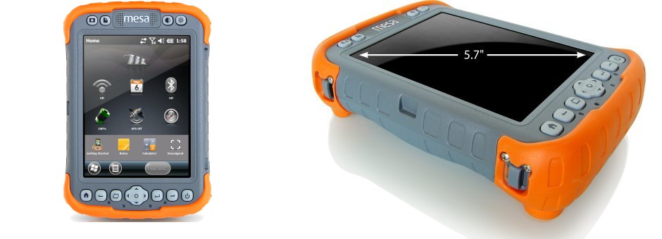
- Mobile GIS Data Capture
- Mobile app for Tree Surveys
- UAV Aerial Imagery & Surveys
- School Catchment Mapping & Ranking
GIS CONSULTANCY SERVICES, ADVICE & GIS TRAINING
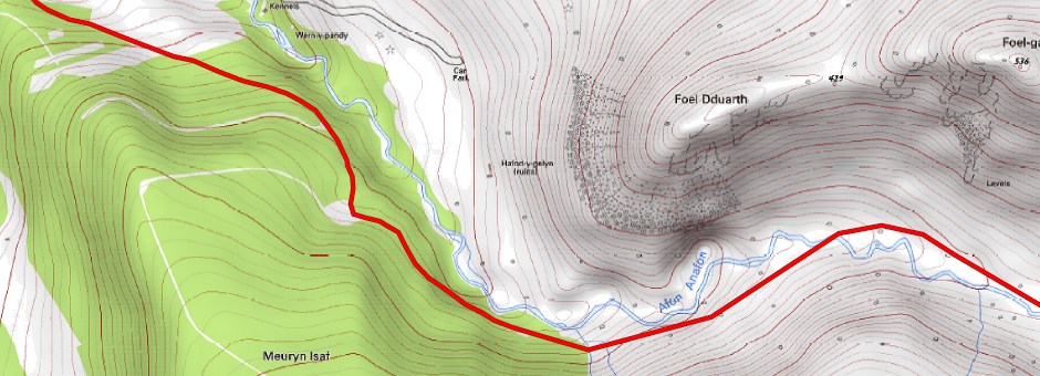
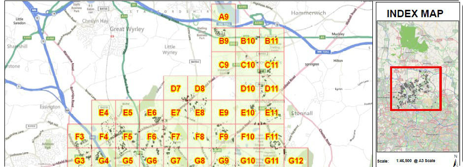
The core of our consultancy service is largely carrying out analysis using GIS and producing bespoke maps, sometimes by the thousands. We have automated scripts that allow the production of whole Counties and these can be produced electronically or printed on our laser colour printers. Increasingly we are offering web mapping sites which are often referred to as WebGIS or interactive maps. GIS Solutions also offer a full range of GIS Consultancy services including GIS training.
"Need help with GIS get in touch, as it can be frustrating."
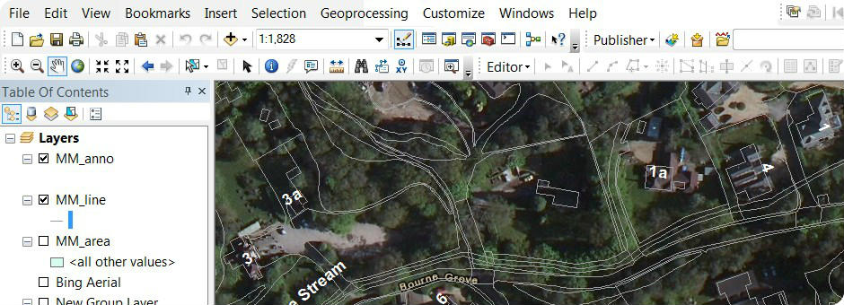
- Digitisation from other sources such as hard copy plans or PDF's
- Spatial analysis
- Strategic GIS and technical GIS Solutions advice
- Data capture and data management advice
- Data cleansing
-
GIS Data
conversion - MIF, TAB, SHP, KML, GDB, XLS,
GPX, MapMaker DRA, etc
- CAD conversion DWG, DXF to GIS Formats such as SHP
- Excel XLS, XLSX, CSV to SHP
- KML to Shapefile with attribute data
- Geodatabase conversion
- MapINFO to Shape file conversion (MIF/TAB to SHP)
- Raster data conversion / compression GeoTIFF, JPEG
- GIS layer projection / transformations
- Merge datasets, remove duplicates update
- Secure GIS portals for sharing GIS/CAD/PDF files
- GZ and GML conversion to shape
- GPS data conversion such as GPX files.
- Geographic information analysis
- Geocoding
- Tree Surveying app for Android or iOS Click Here for tree survey app >>>
- Mobile data collection app for Android or iOS
- GIS & CAD data sharing portals for BIM
- Software Development & Website design
- Topographic survey management
- Remote sensing
- Aerial photographic interpretation
- GIS Support Services (telephone, e-mail, video tutorials)
- Web Mapping - Internet mapping sites that can themsleves be used as a WMS feed into standalone GIS Software such as QGIS, ArcGIS or MapINFO.
-
GIS
Training: ArcGIS, MapINFO, MapMaker, QGIS / Quantum GIS
- Mobile GIS Training (Bespoke for Arboriculture, forestry, ecology)
- Introduction into GIS, principles, techniques, outputs
- Managers Guide to GIS (overview of what it is and what it can do)
- GIS for Arboriculturalists / Arborists
- GIS for Forester Managers
- ArcPAD 10 Training CALL FOR LATEST PRICE
- PocketGIS Training CALL FOR LATEST PRICE
- DigiTerra Explorer Training (Version 6 & 7) CALL FOR LATEST PRICE
- One to one GIS Training
-
Cartographic Map
Production
From a single map to several 1000 we have the tools to produce high
quality maps for operational or presentation purposes. We offer the
following:
- Output to single or multiple PDF's or individual JPG's
- For publications
- Design of map layouts and templates
- Styling of data
- Road maps that follow a roads orientation, rotated to show the road in landscape orientation
- Maps with attribute tables on that are linked to GIS data along with individual photographs
- Export to PDF or JPG, TIF etc
- Professional colour printing A4, A3, A2, A1, A0 pages size
- Ordnance Survey Map Purchasing
-
We provide interactive web mapping solutions which allows users to view, print and export the map data from a variety of formats.
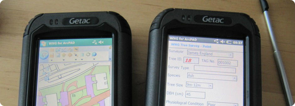
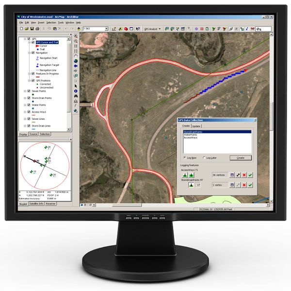
- Mobile Mapping Data Capture Forms
- ArcPAD customised data capture forms and map setup
- PocketGIS customised forms and map setup
- DigiTerra customised data capture forms and map setup
Contains Ordnance Survey data © Crown copyright and database right 2020.
Consultancy: GIS - Forestry - Arboriculture - Website Design


