The one stop consultancy services for:
- Arboriculture - Tree Safety Surveys
- BS5837:2012 Tree Surveys
- Forestry
- Countryside Management
- Landscape Architecture
- Ecology
- Noxious Weed Management
- Contract Management
- GIS Training / Analysis/ Map Production / Data Management
- Web Mapping WebGIS
- Mobile GIS Data Capture
- Mobile app for Tree Surveys
- UAV Aerial Imagery & Surveys
- School Catchment Mapping & Ranking
Tree Safety Surveys?
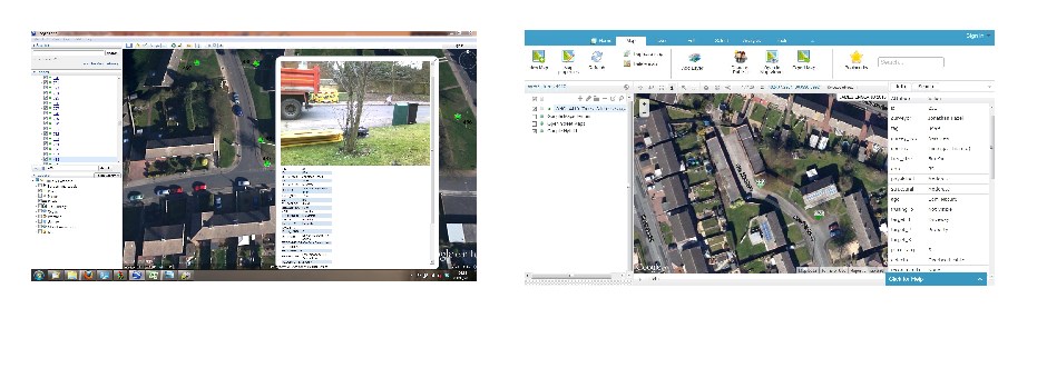
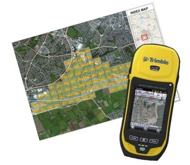
We provide arboricultural advice and consultancy to local authorities, developers, private landowners and other businesses. We use the latest technology in mobile mapping and display the surveyed results on a web based mapping system to manage and display tree data making it available to project teams alongside other data.
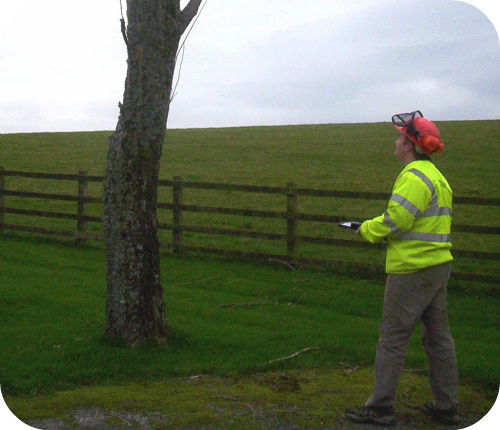
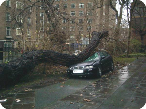
We use Quantified Tree Risk Assessment (QTRA) and other risk assessment systems to provide a Professional Arboricultural Consultancy Service to Businesses, Landowners and Local Authorities.
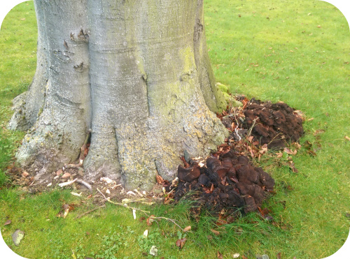
We can provide a wide range of Tree Consultancy Services such as:
-
Tree Surveys for Safety using QTRA and other risk based system
-
Tree Surveys for planning applications - BS5837:2012
-
Tree Risk Management: Policies & Recommendations
-
Tree Risk Zoning
-
Tree Inventories & Tree Mapping
-
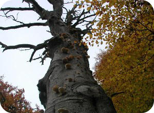
Veteran Tree Surveys
-
Mobile app for Tree Surveys Click HERE >>
-
i-Tree Surveys
-
Amenity/ Conservation Management
-
Woodland Management
-
Tree Preservation Order (TPO) Applications, Reviews, Management
-
TPO Mapping
-
Section 211 Tree Work Applications for trees in Conservation areas
-
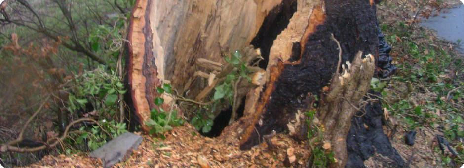
Decay Detection using PICUS Sonic Tomography
-
Contract management, specification & procurement of tree surgery
-
Site clearance using heavy duty mulching machines
-
Mobile data capture for Tree Surveys
-
Aerial imagery capture and interpretation
-
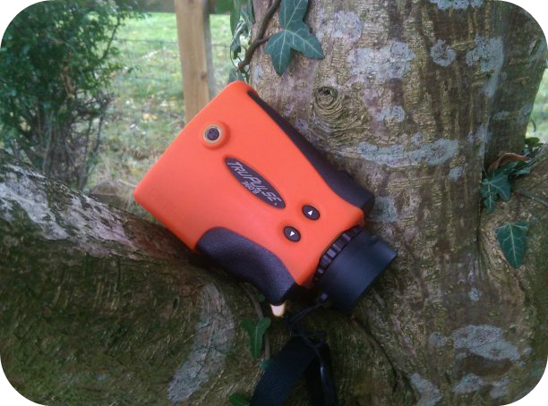
Laser Rangefinders for accurate height / positionning (see here>>).
"Our
Arboriculturalists survey trees throughout the UK and beyond"
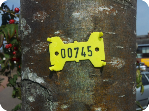 ABOVE: We
frequently get asked to tag trees for clear onsite identification.
We have provided these surveys to several Government Agencies, Local Authorities, Architechts, Developers, Schools, Universities, Housing Associations, Parish Councils, Utility Companies, Grounds Maintenance Companies, Property Management Companies, Churches, Private Estates and many Charities who own land with trees.
As you can see we undertake a wide variety of tree surveys and our mapping expertise ensures our Clients have their trees accurately positioned with the correct information recorded. We use the latest mobile mapping equipment for tree surveys such as:
- Spectra Precision Mobile Mapper 120 hand held GPS for accurate positioning;
- This is loaded with ESRI ArcPAD that we have customised for tree surveying;
- In the field this provides a powerful mobile GIS;
- TruPulse 360B laser rangefinder for tree heights, crown spreads and plotting offset positions;
- A wide variety of GIS software to provide complete flexibility;
- AutoCAD with automated BS5837 tree mapping from our mobile devices.
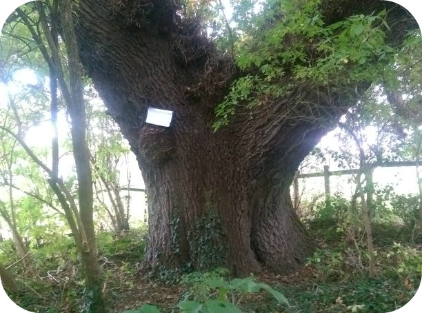
We have worked on large and small surveys and can help you capture the right information to help manage these valuable resources. We are Disclosure and Barring Service (DBS) checked (formerly known as CRB) for work on School sites and can provide further information on this.
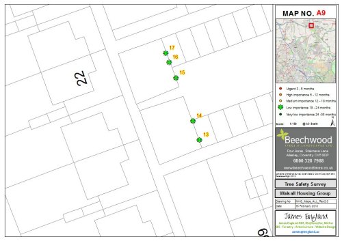
For further details please see our Mobile mapping for Tree Surveys leaflet and are Downloads page >>Click Here.
Consultancy: GIS - Forestry - Arboriculture - Website Design


